
Why drive the interstate when you can experience the Hemp Highway?
Hemp, Binding Our History To Our Future
In Kentucky? Planning on passing through soon? Slow down, turn off the interstate and roll up the Hemp Highway of Kentucky. Unwind as you cruise through a relaxing tour of the lush bluegrass countryside. The Hemp Highway of Kentucky is a unique self-directed diversion that is enjoyable on many levels.
The mission of the Hemp Highway of Kentucky is to illustrate how hemp truly is the fiber that binds together the history and future of Kentucky. The Hemp Highway of Kentucky weaves through names, places and events that are seminal to both the Kentucky and national historical narrative. The Hemp Highway also stops to introduce some contemporary pioneers on today’s hemp frontier.
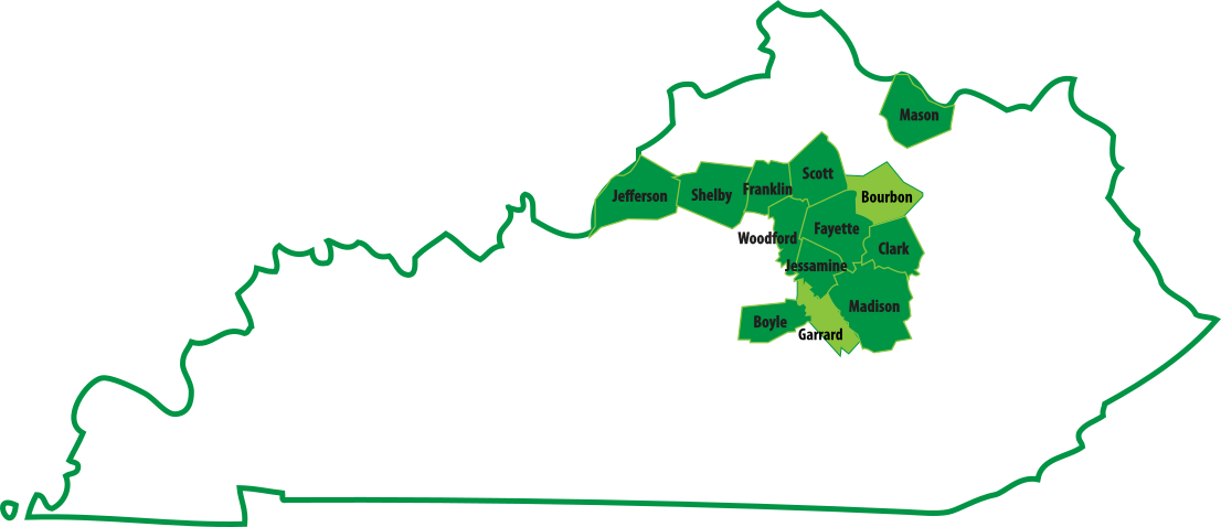
Scroll over the counties on the map.
The “dark green counties” on the map of Kentucky are links that will help you find the historical markers that reference the hemp industry. (Please note that several of these markers have been removed or stolen) The “light green counties” also have hemp related history or attractions but not an “official” roadside historical marker. All links include different sites and attractions that are a part of the hemp story in Kentucky. However, these markers and sites mainly entry points into the story. Our goal at the Hemp Highway of Kentucky is to connect those dots to create a clearer picture of how the hemp industry influenced the earliest days of Commonwealth through modern days. For example, how being a hemp farmer and industrialist likely influenced Senator Henry Clay’s most noted accomplishments. Or how the first millionaire west of the Allegheny Mountains, John Wesley Hunt, started several prosperous hemp processing businesses before moving into the more lucrative world of finance.
Each county page has information and links designed to help provide a better understanding of the role that hemp played in the settling of the frontier and development of the Commonwealth. Eventually this information will be converted into an audio tour that will be available for download from this website.
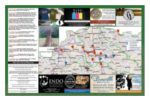
Click the thumbnail above to download printable map (6.5mb, .pdf)